Geography
Geography
Country Reports.org Country information from around the world. A resource for business, tourists, students and teachers.
The Flat Stanley Project.
Owl & Mouse has great free downloads for geography.
National Geographic: Geography Action! is an annual conservation and awareness program designed to engage students, educators, and communities in taking action to protect the Earth and its people.
GeoNet is a challenging online game from Houghton Mifflin and is based on the six essential elements from the National Geography Standards.
Peace Corps: World Wise Schools Standard based lesson plans to help students (Gr 3-5) learn about the world and different cultures through the Peace Corps experience.
Geography Tutor Learning the countries of Europe and Africa, and the states of the USA, is easy thanks to this trio of educational programs. Choose from Africa, Europe and USA to download free.
Coloring Book of Flags The flags have been drawn in outline form, suitable for printing to be colored in by hand. You can choose from all the states, a few historial flags, Canadian provinces, and most other regions. These would be excellent to add to any unit study, lapbook, notebook, and even timeline notebook.
Radley College Geography Department worksheets to download in pdf.
National Geographic Bee, an educational program of the National Geographic Society, is a nationwide geography competition for U.S. schools for grades four through eight, designed to encourage the teaching and study of geography. The lesson plans address all of the U.S. National Geography Standards, the five geography skills, and the main geographic perspectives. Test your geosmarts in the GeoSpy Geography Game by identifying states, provinces, countries, and continents.
Enchanted Learning: Geography offers a nice collection of geography pages, maps, printouts, flags, quizzes, and activities for students.
GeographyPages Lots of geography resources and home of GeoBlogs and GeoDoku. Geo Blogs is for students to post items relative to their Geography lessons, also advise for educators. GeoDoku is a combination of Geography and Sudoku.
For Geography Teachers has a lot of links for teaching geography.
Affiliate Links
| Geography Through Literature | |
|---|---|
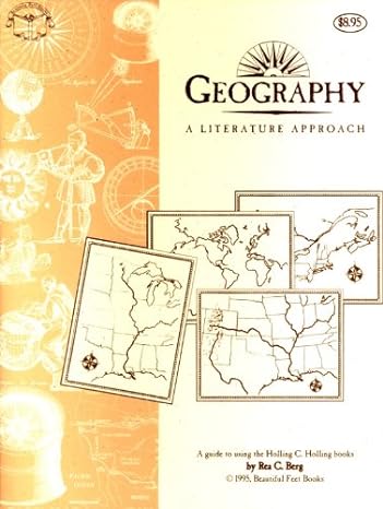 |
Geography Through Literature by Rea C. Berg Beautiful Feet Books Geography Through Literature Study Guide is intended to accompany the Holling C. Holling series. It is possible to encompass a broad course in history, geography, and science. Since the text is challenging in some instances, oral comprehension and vocabulary can be incorporated as well. |
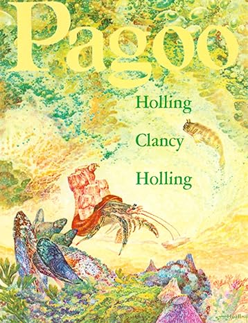 |
The Holling C. Holling Series by Holling C. Holling. Books in this series are Minn of the Mississippi, Paddle-to-the-Sea, Pagoo, Seabird, Tree in the Trail. Whether following the adventuresome voyage of a carved toy canoe, tracing the travels of a not-so-timorous turtle, or learning about life on the Great Plains as witnessed by an aged cottonwood tree, readers will relish the blend of history, geography, and nature. |
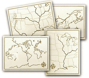 |
Four 18 x 24 Geography Maps, by Beautiful Feet Books. This set of four 18″ x 24″ maps is used with the Geography Through Literature study guide. Each blank map depicts a different area of the United States. |
Atlases & Maps
U.S. Geological Survey USGS: Maps. Basic geospatial data and other related earth science information.
Atlapedia Online contains full color physical maps, political maps as well as key facts and statistics on countries of the world.
Maps.com Explore, learn and play with maps and atlases.
UT Library Online – Perry-Castañeda Map Collection Americas Maps.
Xpeditions Atlas Print black-and-white maps from National Geographic.
Map Worksheet Factory Quickly and easily create professional outline-map worksheets for lessons in geography, history, social studies, and current events. For grades K-12.
World Atlas has facts, flags and maps & outline maps and map tests.
Download Free blank US state outline maps in Illustrator & editable PDF Vector format from Digital Vector Maps. One of the advantages to using these editable maps is that the maps are scalable to virtually any size without loss in detail or quality due to their vector nature.
Thanks to reader C Chubb

